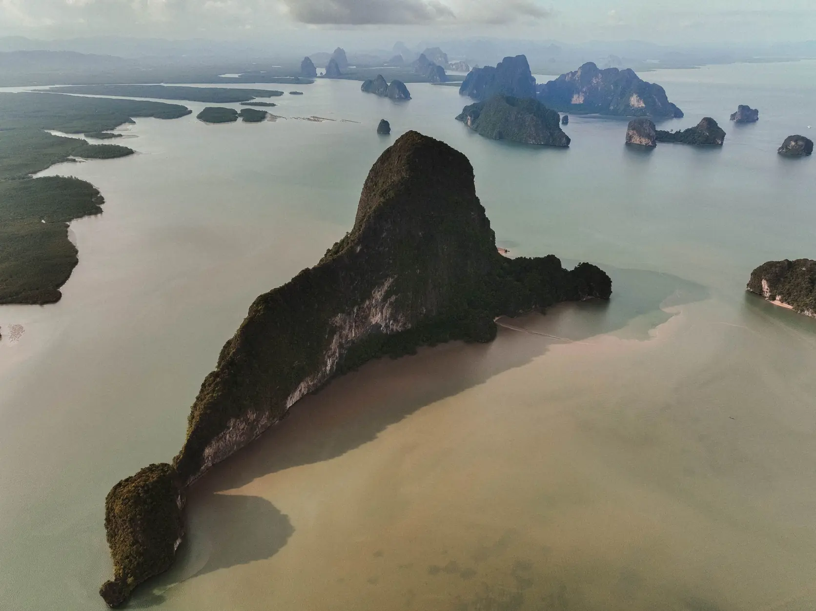
Read the country panel first
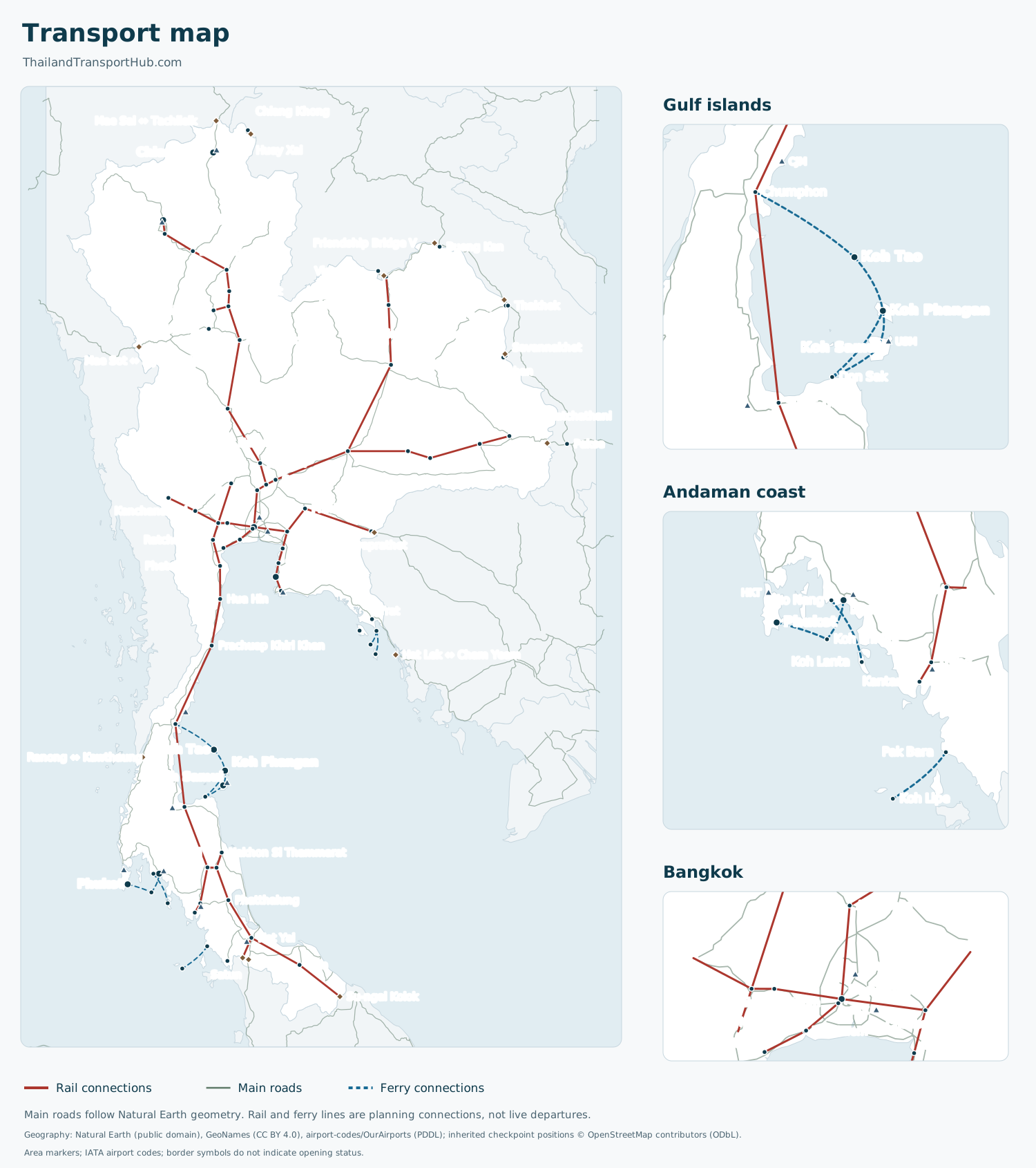
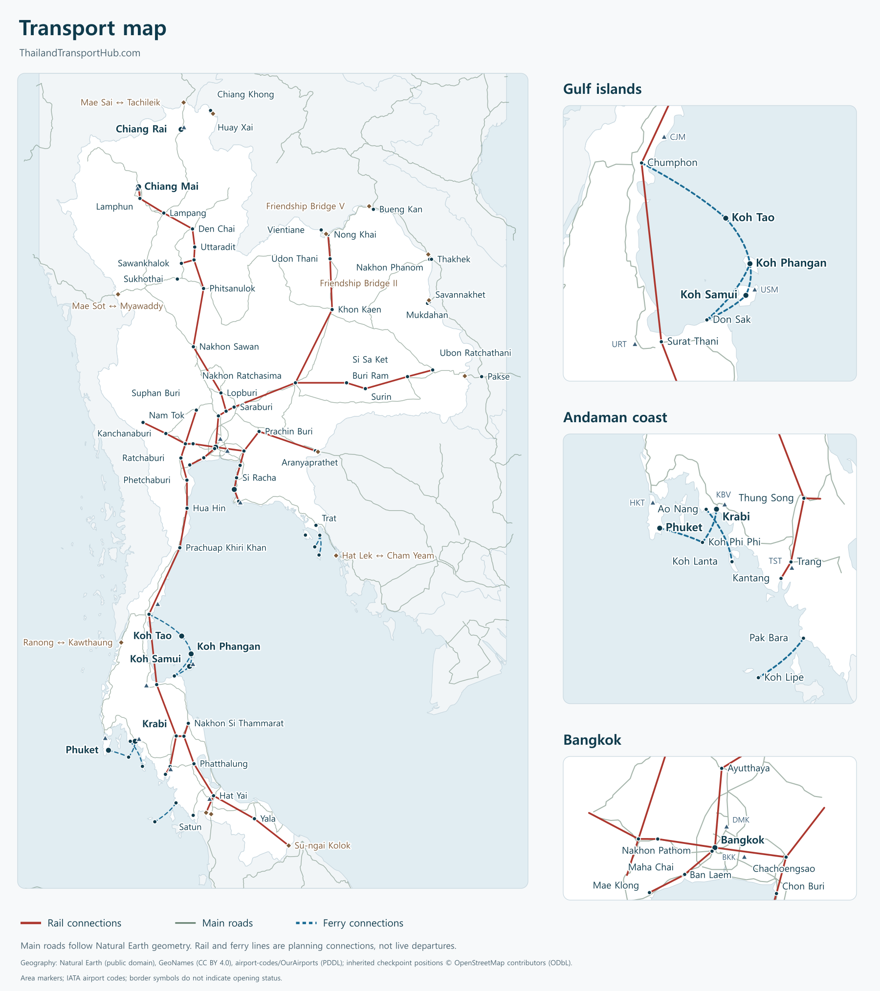
The main panel covers the whole country, including the southern peninsula. The separate Gulf islands, Andaman coast and Bangkok panels make crowded areas easier to read.
Rail, road and ferry layers use different line styles. Airport markers carry IATA codes. City and island dots are area references, so a dot should not be used as a boarding entrance or hotel pickup pin.
The geographic data contains 103 points and 84 schematic corridors. These counts describe the map's contents, not the number of operating routes, airports or border crossings in Thailand.
Layers, zoom and the accessible index
Use the region selector to move between the country view and the three insets. The plus, minus and reset buttons change the view. Layer checkboxes let you compare rail, road, ferry and airport geography without hiding the written guides.
The expandable geographic index lists the place names and coordinates below the map. It is an alternative to reading small labels and includes the geographic source links.
Turn a line into a journey
The train guide, bus guide and ferry guide explain the travel choices. A schematic connection does not say that one ticket covers the whole line or that every departure uses the same terminal.
For Bangkok, distinguish Suvarnabhumi (BKK) from Don Mueang (DMK). For islands, choose the actual pier and any included road transfer in the route result, rather than relying on the island's area marker.
Border references need an additional check. Read the Laos crossing guide or the Cambodia border guide for entry conditions and current status. A marker and a visa-port listing do not establish that a land gate is open.
Downloads and reuse
The map controls offer the current language's vector SVG and raster PNG. The data links provide:
- JSON: geographic points, schematic connections and their public source references.
- CSV: the geographic place index, with coordinates and source URLs.
- GeoJSON: point features and schematic connection lines for mapping software.
The files are generated from the same geographic registry as the map. They contain no booking inventory or internal research records.
The map presentation is CC BY 4.0. The underlying sources retain their separate terms: Natural Earth is public domain, GeoNames is CC BY 4.0, airport data is PDDL, and inherited OpenStreetMap positions carry ODbL obligations. Keep the attribution and read the complete licence notice before reuse.
Questions before you go
Are the lines exact roads or ferry tracks?
No. They are schematic connections between geographic reference points. Use the relevant route guide and your ticket for the actual terminal, pier and departure.
Does a border symbol mean the crossing is open?
No. A symbol identifies a geographic crossing reference. Current status, passport eligibility and visa acceptance are separate matters covered in the border guides.
Can I reuse the map and data?
The map presentation is CC BY 4.0. Underlying source data keeps its own terms, including OpenStreetMap attribution and ODbL where applicable. Read the linked licence before reusing or combining files.

Thailand Transport Hub
Written and maintained from Bangkok. The people behind this site have lived in Thailand for two decades and cross these borders themselves. Routes and visa rules get rechecked whenever something changes, not on a fixed schedule that lets stale information sit for months.